
3D Models with DJI Zenmuse P1
The DJI Zenmuse P1 is a 45 MP with a mechanical shutter, which makes for an excellent setup for aerial imagery capture. Combined with the M350 RTK and a base station, such as the Emlid Reach RS3, you can expect imagery tag accuracy of about an inch. In land surveying applications, this allows us to generate survey grade orthophotos to generate 2D linework, or point clouds to generate 3D deliverables, such as surface or volume reports. In 3D modeling applications the geotag accuracy results in better looking models. The combination of accurate image locations and impressive imaging provides a best in class photogrammetry setup.
In this data set we will see 3D model results specifically for a cell tower and an office building.
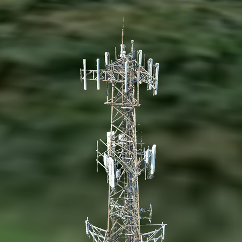
The cell tower imagery was collected using a combination of manual flying and Hammer Missions. This resulted in 642 images being captured. The images can be found here. The cell tower data came out pretty well considering the difficulty in modeling towers. We ran this data set through another popular software, and it was not pretty.
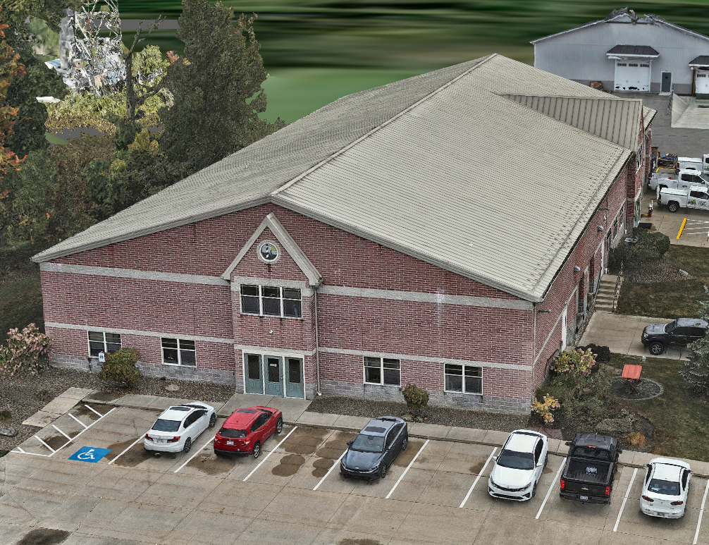
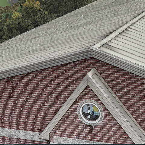
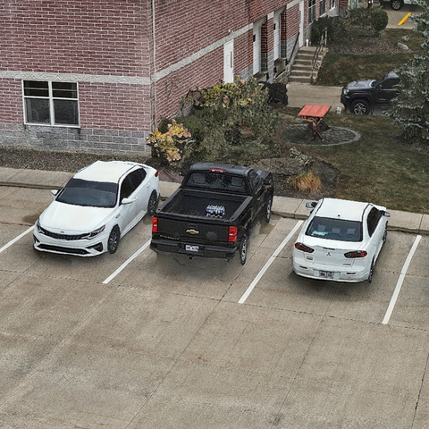
The building imagery was collected using the oblique mission in DJI Pilot. 314 images were captured and this sample data for the building can be found here. The 3D model came out really well, with very crisp edges, and cars that look more like cars than blobs.
All the imagery was processed using Skyline software. Skyline is very impressive when it comes to 3D modeling as can be seen in this project. You can see the finished result here. Beyond 3D models, Skyline is also able to scale to the point of being able to handle projects of virtually any size. Processing and viewing the results of entire cities can be handled with ease.