
DJI Zenmuse L1 LiDAR Data
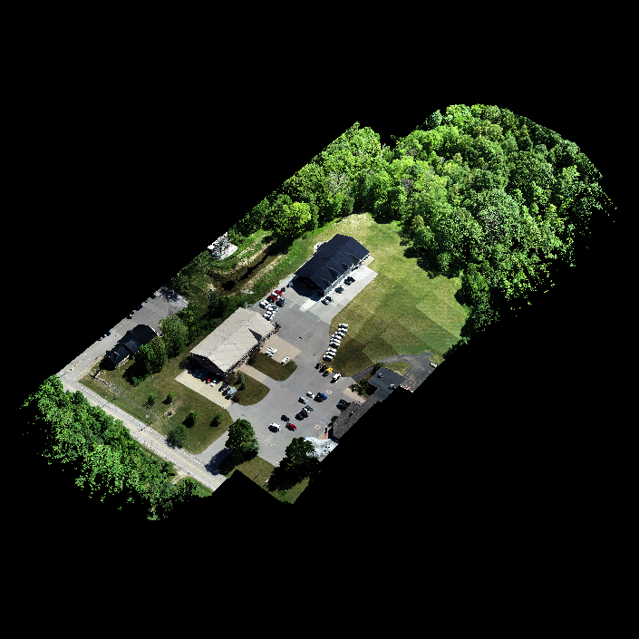
Click the link below to download the DJI Zenmuse L1 LiDAR sample data from the Matrice M300 RTK. The raw data includes the LiDAR sensor data, as well as the 20 MP imagery. Load the sample data into DJI Terra to colorize the point cloud and export into PNTS, LAS, PLY, PCD, or S3MB format. In order to skip the DJI Terra processing step, the processed LAS file is already included.
The point cloud data shows paved surfaces, short grass, tree cover, and buildings.