DJI Terra
From $300.00

Regular price
$1,400.00
Sale price
$1,400.00
Regular price
Unit price
per
Shipping calculated at checkout.
Sold out
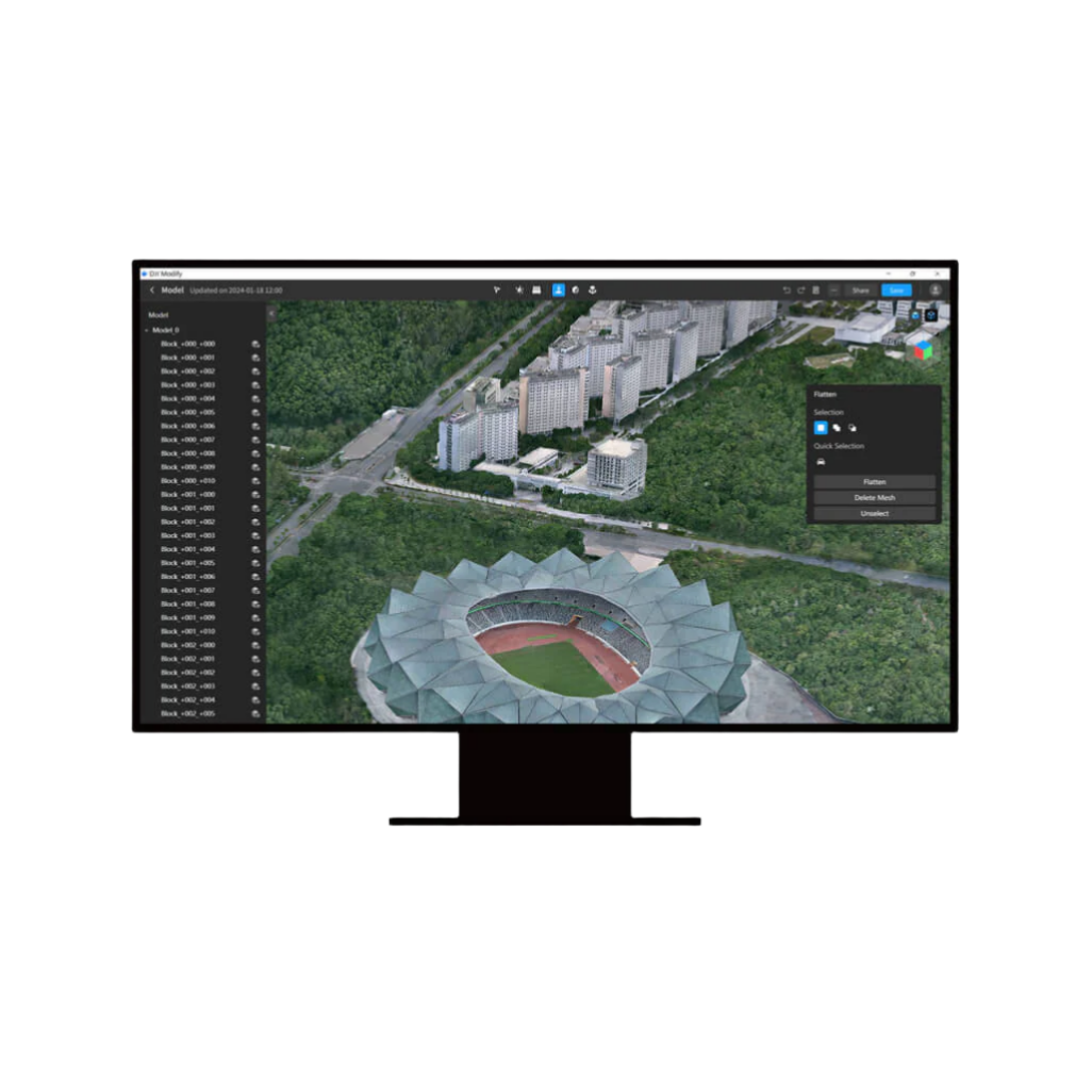
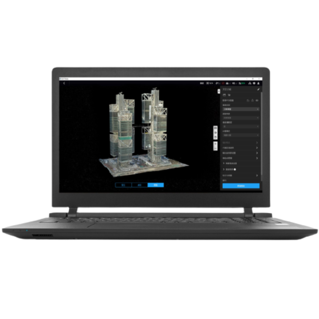
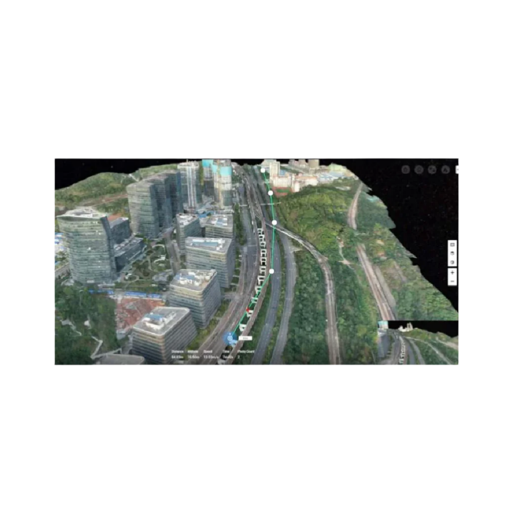
Capture, analyze and visualize your environment with DJI Terra – an easy to use mapping software developed to help industry professionals transform real-world scenarios into digital assets.
- Model reconstruction: Import images to generate a high-resolution 2D orthophoto map and a high-accuracy 3D model.
- Real-time reconstruction: Generate a 2D orthophoto map and a 3D model in real time during the flight to output results as you fly.
- Lidar data processing: Working with DJI L1, DJI Terra can generate high-accuracy true-color cloud points with one click.
- Detailed Inspection: Automatically generate routes based on target points marked in a 3D model or point cloud to automate inspection workflows.
- Model application: Easily measure targets' coordinates, distances, areas, volumes, and other key data and rename or export the data results.