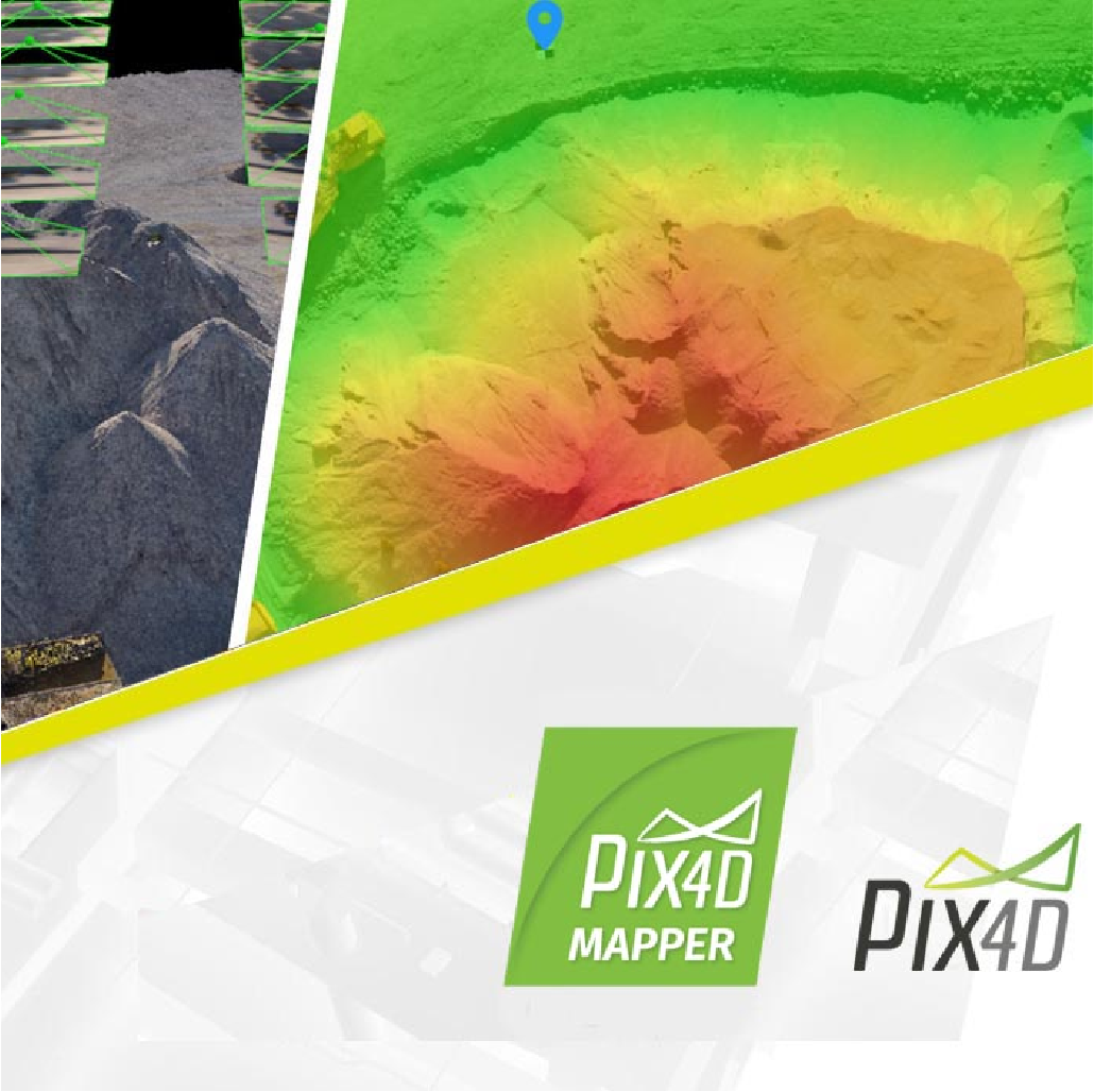
Pix4Dmapper
From $3,500.00
Shop safely
Secure your shopping experience with various safe and trusted payment methods.
The leading photogrammetry software for professional drone mapping
- Capture RGB, thermal, or multispectral images with any camera or drone and import them to PIX4Dmapper.
- PIX4Dmapper's photogrammetry algorithms transform your ground or aerial images in digital maps and 3D models. Seamlessly process your projects on your desktop using our photogrammetry software, or bundle with PIX4Dcloud for online processing.
- Use the power of photogrammetry in the rayCloud environment to assess, control and improve the quality of your projects. Use the quality report to examine a preview of the generated results, calibration details, and many more project quality indicators.
- Accurately measure distances, areas, and volumes.
- Streamline project communication and teamwork. Selectively and securely share project data and insights, with your team, clients, and suppliers, using standard file formats.


Shopping Safely
At our Shopify store, we prioritize your safety and security. Here's how we ensure a secure shopping experience:
1. Secure Transactions: We use advanced encryption to protect your personal and payment information, ensuring it is safely transmitted and safeguarded.
2. Trusted Payment Gateways: Our store integrates with trusted payment gateways, ensuring your transactions are processed securely and efficiently.
3. Data Privacy: Your privacy is our top priority. We follow strict data protection policies to keep your personal information confidential and secure.
4. Secure Platform: Shopify provides robust security features and continuous monitoring against vulnerabilities, ensuring a safe shopping environment.
5. Verified Merchants: We are a verified merchant on Shopify, committed to providing authentic and high-quality products.
6. Transparent Policies: Our clear return, refund, and shipping policies provide peace of mind, knowing we stand behind our products.
7. Customer Support: Our dedicated customer support team is ready to assist with any concerns or questions you may have.
Shop confidently at our Shopify store, where your safety and satisfaction are our top priorities.
$3,500.00
Questions about this product?
-
WELL TRUSTEDOver 100k customers
-
SUPER FASTWith Express delivery
-
EXPERT HELPSeven days a week
-
BEST PRICESUnbeatable value


