
Customer Success Story: Minnesota Department of Natural Resources
The Emlid Reach RS2 can be used in a number of industries – everything from ALTA surveying to archaeology to mining. In this article, we’ll discuss how the Minnesota Department of Natural Resources Forestry Division’s arsenal of 30 RS2s has helped achieve their conservation goals.
Organization Background
The Minnesota Department of Natural Resources (MN DNR) is committed to the conservation of land, water, fish, and wildlife. The organization provides recreational opportunities to the public, but also recognizes the diverse ecosystems that live with the state’s 59 forests.
How MN DNR Uses GPS
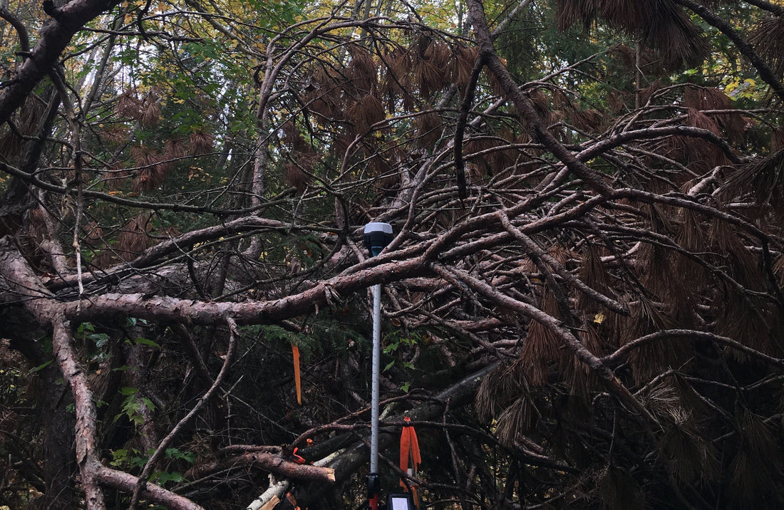
The MN DNR is responsible for managing the lifecycle of 5 million acres of forested land – land that provides clean water and natural resources to humans and animals alike. In order to maintain these vast forests, the DNR’s Forest Resource Management plans a 10-year cycle to update forest inventory. Forest Inventory includes the following:
- Assess the risk for potential fire hazards to understand burning restrictions for visitors/determine preventative actions
- Updating maps for visitors
- Assess the forest to determine types of wildlife inhabitants/lack thereof
- Estimate what timber can be sold/what areas need to be replanted
For these reasons, it is imperative the DNR have precise locations of the forest inventory plot locations in order to generate the forest inventory models. Using LIDAR and GPS, the MN DNR is able to efficiently and accurately facilitate the collection of data to achieve their goals.
Emlid Reach RS2
Prior to the DNR using Emlid products, they tested several GPS in various field demos. Upon completion of their tests, they felt several things set the RS2 apart from the others:
- Multi-band allows the team to post process static locations using OPUS, and when OPUS fails, they have RTK post
- The ability to use NTRIP – while currently not in use by the DNR, the option is available the DNR feels it has a lot of potential
- Flexibility – the RS2 can run on any Android or iOS device, while other options require a dedicated data collector
Experience With Emlid
The response from foresters using the Reach RS2 has been positive: “[They] like how easy it is to start and they can go about their business without needing to babysit the GPS setup,” said Lucas Spaete, Senior Research Analysis Specialist with MN DNR.
The economical cost has helped this nonprofit be efficient as well. The low price point accompanied by the centimeter accuracy means the team can collect more inventory plots. Without these units, Spaete believes it’s possible they might be able to collect the same number of plots, but the lower accuracy of another brand would mean more error in their models.
Future Use of Emlid Products
While the MN DNR has 30 RS2s in use, they do plan to expand their inventory. “We have really just scratched the surface for what the foresters are doing with the devices,” said Spaete. “We are hoping to develop workflows to locate property lines, run property lines, locate state assets, and connect to the MNCORS network with NTRIP.”