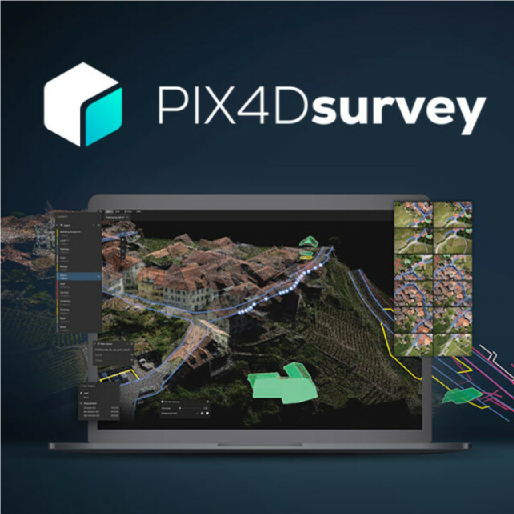
Pix4Dsurvey
From $200.00
Shop safely
Secure your shopping experience with various safe and trusted payment methods.
Drag and drop you point cloud from the DJI Zenmuse L2, RESEPI, MNM or any other point cloud into Pix4Dsurvey for an intuitive point cloud solution. You can also import your Pix4Dmatic, Pix4Dmapper, or Pix4Dcloud projects directly into Pix4Dsurvey. Take your L2 data to a landXML surface, or run volume reports directly in Pix4Dsurvey.
Simplified workflow
- Capture images or point clouds with a drone or any laser scanner.
- Import data from other Pix4D software or a .las or .laz file to PIX4Dsurvey and combine multiple datasets into the same project.
-
Generate a TIN to model the ground and create engineering-ready CAD vector files from point cloud data by extracting key elements of your project with PIX4Dsurvey.
- Move from a lightweight point cloud to a model of your terrain. Use the Smart Grid, TIN, and terrain classification to get accurate, actionable results
- Open your simplified, accurate data in any CAD or GIS software with custom layers and properties that fit your existing workflow.
Key Features
- Built-in vectorization tools: vectorize your project using points, polylines, polygons, and catenary curves with just a few clicks.
- Measure stockpile volumes, and generate volume reports in pdf format
- Create surfaces: after automatic terrain classification, model the ground with a TIN from points and breaklines to represent the topography of your project. Automate the creation of spot elevation and allow drastic simplification of the number of point cloud points
- Vectorize in 3D, edit in 2D using the original images from photogrammetry processing for an easy solution for objects only clearly visible in imagery.
- Combine multiple point cloud files into a single project
- Capable of pulling in any LAS/LAZ files, but even more tightly integrated with other Pix4D projects from matic, cloud, and mapper.
- Easy export of select layers for smooth transition into your CAD or GIS software.


Shopping Safely
At our Shopify store, we prioritize your safety and security. Here's how we ensure a secure shopping experience:
1. Secure Transactions: We use advanced encryption to protect your personal and payment information, ensuring it is safely transmitted and safeguarded.
2. Trusted Payment Gateways: Our store integrates with trusted payment gateways, ensuring your transactions are processed securely and efficiently.
3. Data Privacy: Your privacy is our top priority. We follow strict data protection policies to keep your personal information confidential and secure.
4. Secure Platform: Shopify provides robust security features and continuous monitoring against vulnerabilities, ensuring a safe shopping environment.
5. Verified Merchants: We are a verified merchant on Shopify, committed to providing authentic and high-quality products.
6. Transparent Policies: Our clear return, refund, and shipping policies provide peace of mind, knowing we stand behind our products.
7. Customer Support: Our dedicated customer support team is ready to assist with any concerns or questions you may have.
Shop confidently at our Shopify store, where your safety and satisfaction are our top priorities.
$200.00
Questions about this product?
-
WELL TRUSTEDOver 100k customers
-
SUPER FASTWith Express delivery
-
EXPERT HELPSeven days a week
-
BEST PRICESUnbeatable value


