XGRIDS Lixel K2


Use the chat for pricing, or email us at sales@e38surveysolutions.com
The gold standard for lightweight spatial scanning: engineering-grade data quality, real-time colorized point cloud, built-in RTK, and portability under 2.2 lbs.
The K2 doesn't ask you to choose between speed and accuracy. Weighing less than 2.2 lbs with built-in RTK and real-time colorized point cloud output, it's the first scanner in its class that lets you walk a site in the morning and deliver results by afternoon, no trade-offs, no extra equipment, no post-processing bottleneck.
What Sets K2 Apart
- Real-Time Colorized Point Cloud — World's first in its class; scan in the morning, deliver by afternoon
- Built-in RTK — Centimeter-level geo-referencing with no external equipment; supports RTK & PPK
- Sub-2.2 lbs Professional Grade — Full capabilities in the lightest form factor in its class
- Engineering-Grade Accuracy — 1 cm relative accuracy, 3 cm absolute (RMSE), 0.05° leveling
- Complete Software Stack — From field capture to final deliverable in one ecosystem
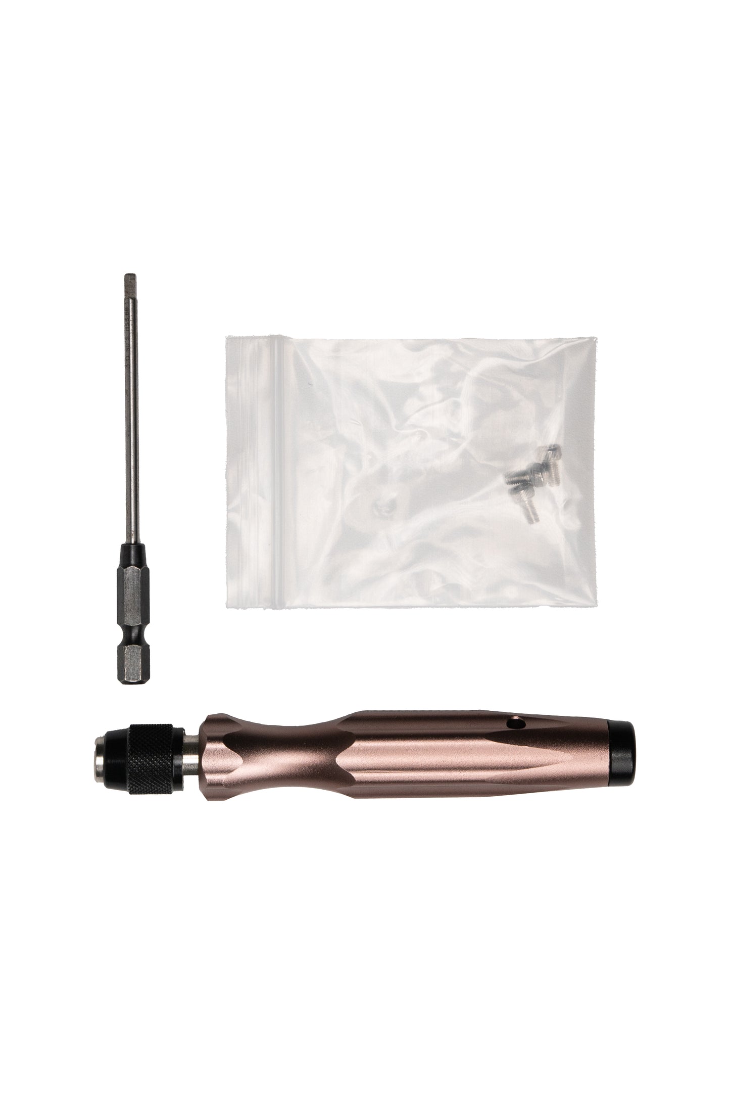
What's in the Box
Standard Package:
- Lixel K2 Scanner (1x)
- Removable Battery (2x)
- Battery Charging Hub (1x)
- Phone Mount (1x)
- Extension Pole Adapter (1x)
- Control Point Base (1x)
- USB-C Cable (1x)
- Quick Start Guide
Optional Accessories (sold separately):
- Extension Pole (2m, compatible with K1)
- Additional Battery (compatible with K1 battery)

Key Specifications
| Parameter | Specification |
| Weight | < 2.2 lbs |
| Relative Accuracy | 1 cm |
| Absolute Accuracy (RMSE) | 3 cm (max 5 cm) |
| Scan Rate | ~200,000 pts/s |
| Range | 40m (standard) / 70m (maximum) |
| Cameras | 3 (1 front-view + 2 fisheye) |
| Integrated RTK | Built-in (UM980 module) |
| Storage | 512 GB |
| Wireless | WiFi 2.4G / 5G |
Accuracy
| Parameter | Real-Time | Post-Processed |
|---|---|---|
| Absolute / Planimetric Accuracy (RMSE) | 3 cm (max 5 cm) | 3 cm (max 5 cm) |
| Relative Accuracy | 1 cm | — |
| Elevation Accuracy (RMSE) | — | 3 cm (max 5 cm) |
| Point Cloud Thickness | ≤ 2 cm | ≤ 1 cm (with enhancement: 5 mm) |
| Leveling Accuracy | — | 0.05° |
| Colorized Point Cloud | Supported | — |
| Real-Time Denoising | Supported | — |
| Dynamic Object Removal | Supported | — |
| Point Cloud Enhancement | — | Supported |
| Mesh Generation | — | Supported |
| 3D Gaussian Splatting | — | Supported (via LCC) |
Hardware:
| Parameter | Specification |
| LiDAR Module | Livox Mid-360 |
| Scan Rate | ~200,000 pts/s |
| Range (Standard) | 40m @ 10% reflectivity |
| Range (Maximum) | 70m @ 80% reflectivity |
| Total Cameras | 3 (1 front-view + 2 fisheye) |
| Camera Resolution | 4000 x 3000 per camera |
| Camera Sensor | 1/2" CMOS |
| LiDAR Tilt Angle | 20° forward |
| Weight | < 2.2 lbs |
| Battery | Removable |
Connectivity & Output:
| Parameter | Specification |
| Storage | 512 GB |
| Data Interface | USB 3.0 |
| Wireless | WiFi 2.4G / 5G |
| Integrated RTK | Built-in (UM980 module) |
| GNSS Modes | RTK, PPK |
| Point Cloud Format | .las (with absolute coordinates) |
| Image Format | .jpg |
| 3D Mesh | Supported |
| 3D Gaussian Splatting | Supported (via LCC) |