Pix4Dcloud
From $59.00
Shop safely
Secure your shopping experience with various safe and trusted payment methods.
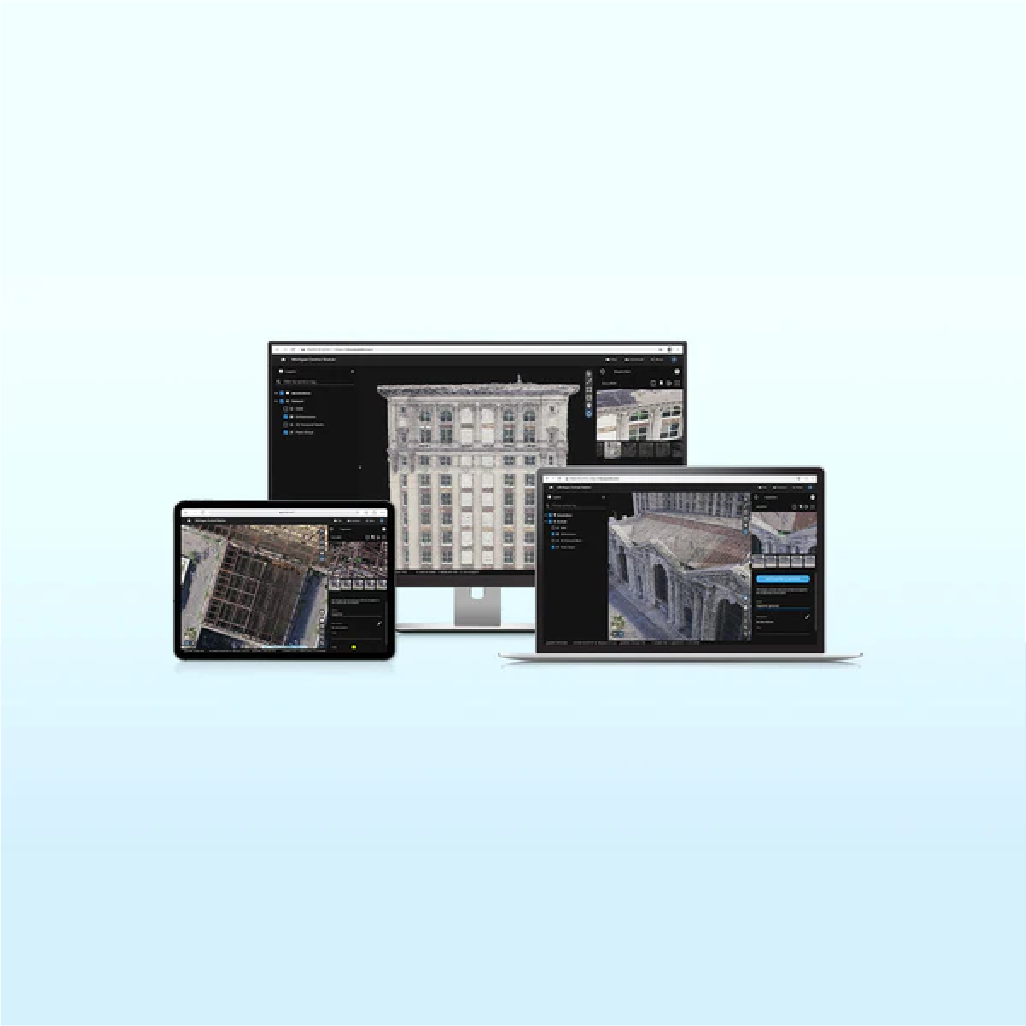
Pix4Dcloud is a powerful online platform for processing drone imagery and sharing results. Upload imagery directly from Pix4Dcatch for a streamlined handheld scanning solution. Start your project in Pix4Dmatic, add GCPs and upload to cloud to process your project. Share your project for free with a simple URL.
Map, measure, and document the progress of your site
- Timeline Analysis: Visual timeline for your jobsite for site tracking and project documentation
- Calculate and compare volumes over time
- Overlay your IFC files onto the 3D point cloud or mesh for better visualization of your project
- Overlay design plans and maps and compare over time
- Virtually inspect any jobsite from any device or location
- Measure distances, highlight critical elements and share data with your team or clients
- Directly integrated with Trimble Connect
Pix4Dcloud Standard - Includes 20 credits per month or 500 credits annually
- Create accurate 2D maps and 3D models from images
- Measure distances, areas, and volumes
- Add annotations
- Generate elevation profiles
- Perform virtual inspections
- Share with team and stakeholders
Pix4Dcloud Advanced - Includes 100 credits per month or 2500 credits annually
- All Standard features
- Track and document site progress with visual timeline
- Compare volumes over time
- Overlay design plans and maps
- Improve collaboration with PDF reports
Pix4Dcloud Credits
100 credits is equivalent to ~500 images using a Mavic 3 Enterprise. About 2 Pix4Dcloud credits are needed per acre.


Shopping Safely
At our Shopify store, we prioritize your safety and security. Here's how we ensure a secure shopping experience:
1. Secure Transactions: We use advanced encryption to protect your personal and payment information, ensuring it is safely transmitted and safeguarded.
2. Trusted Payment Gateways: Our store integrates with trusted payment gateways, ensuring your transactions are processed securely and efficiently.
3. Data Privacy: Your privacy is our top priority. We follow strict data protection policies to keep your personal information confidential and secure.
4. Secure Platform: Shopify provides robust security features and continuous monitoring against vulnerabilities, ensuring a safe shopping environment.
5. Verified Merchants: We are a verified merchant on Shopify, committed to providing authentic and high-quality products.
6. Transparent Policies: Our clear return, refund, and shipping policies provide peace of mind, knowing we stand behind our products.
7. Customer Support: Our dedicated customer support team is ready to assist with any concerns or questions you may have.
Shop confidently at our Shopify store, where your safety and satisfaction are our top priorities.
$59.00
Questions about this product?
-
WELL TRUSTEDOver 100k customers
-
SUPER FASTWith Express delivery
-
EXPERT HELPSeven days a week
-
BEST PRICESUnbeatable value


