Pix4Dcloud
From $129.00

Regular price
$129.00
Sale price
$129.00
Regular price
Unit price
per
Shipping calculated at checkout.
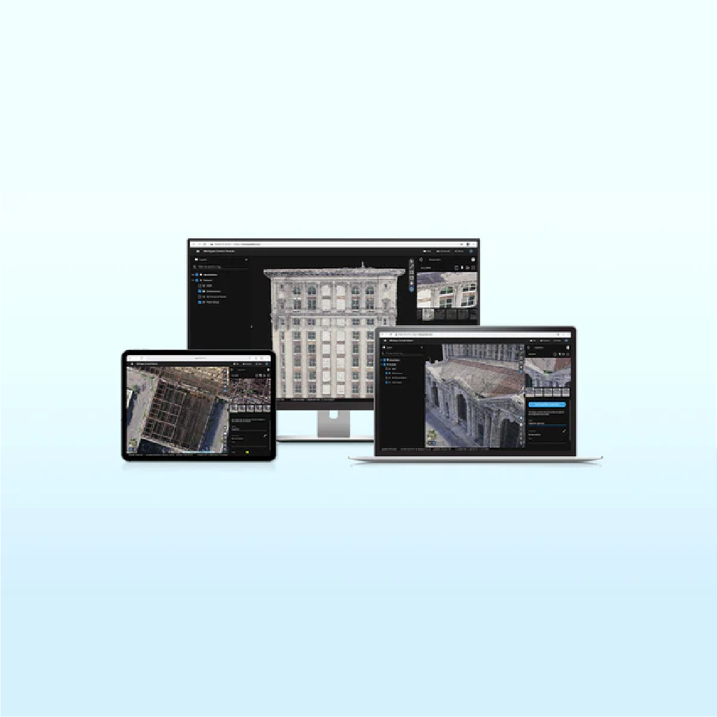
Pix4Dcloud is a powerful online platform for processing drone imagery and sharing results. Upload imagery directly from Pix4Dcatch for a streamlined handheld scanning solution. Start your project in Pix4Dmatic, add GCPs and upload to cloud to process your project. Share your project for free with a simple URL.
Map, measure, and document the progress of your site
- Timeline Analysis: Visual timeline for your jobsite for site tracking and project documentation
- Calculate and compare volumes over time
- Overlay your IFC files onto the 3D point cloud or mesh for better visualization of your project
- Overlay design plans and maps and compare over time
- Virtually inspect any jobsite from any device or location
- Measure distances, highlight critical elements and share data with your team or clients
- Directly integrated with Trimble Connect
Pix4Dcloud Starter - Includes 40 credits per month or 500 credits annually
- Create accurate 2D maps and 3D models from images
- Measure distances, areas, and volumes
- Add annotations
- Generate elevation profiles
- Perform virtual inspections
- Share with team and stakeholders
Pix4Dcloud Pro - Includes 200 credits per month or 2500 credits annually
- All Standard features
- Track and document site progress with visual timeline
- Compare volumes over time
- Overlay design plans and maps
- Improve collaboration with PDF reports
Pix4Dcloud Credits
100 credits is equivalent to ~500 images using a Mavic 3 Enterprise. About 2 Pix4Dcloud credits are needed per acre.