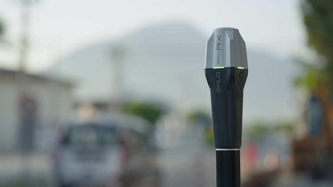
Customer Success Story: Whitenton Group Inc

The Emlid Reach RX can be used in a number of industries – everything from surveying and construction, to forestry and mining. In this article, we will discuss how Whitenton Group utilizes the Reach RX for multiple applications, from sub-meter use to collecting high accuracy control.
Organization Background
Whitenton Group, Inc. Environmental Consultants (WGI) is an environmental consulting firm known for providing exceptional natural resource consulting and training services for the private and public sector. They provide practical solutions for environmental regulatory compliance which enable their clients to complete projects within budget and on schedule. Their clients include the energy, land development, utilities, transportation, and industrial sectors, as well as government-supported agencies.
Why the Reach RX?
Whitenton was primarily operating the Trimble Geo 7X when they decided to look for a receiver that could better integrate with ESRI's ArcGIS Field Maps. Along with that they still needed to maintain sub meter accuracy without base station corrections. The Reach RX is compatible with Field Maps on Android (and now iOS devices), so they tested it out, along with some other GNSS receivers. They looked at the Trimble R1 and the Bad Elf Flex. Overall the Reach RX won out because of a combination of factors: easy to use with Field Maps, compact, light weight, and accuracy. Whitenton is consistently seeing RMS values in the 20-30 cm range without base station corrections.
High precision applications
Whitengroup also utilizes the Reach RX and the Reach RS2+ for higher precision applications. The Reach RS2+ is set up as a network base station and passed its corrections over the internet using Emlid Caster. Using this base and rover setup, they are able to capture Ground Control Points for their drone surveys. The RTK accuracy of the Reach RX under these conditions is speced at 7 mm horizontally and 14 mm vertically.
The Results
Whitengroup has been operating their first Reach RX for 2+ years now. The Reach RX is a versatile tool for Whitenton Group. It has been the sub meter tool they needed that easily integrates with Field Maps, as well as a high precision rover for collecting GCPs for the M300 with Zenmuse P1. They are also able to scale, adding multiple Reach RX for their other teams.
The RX is an excellent choice for any positioning application; it is lightweight, durable, cost-effective, and provides centimeter-accuracy. It’s comparable to mainstream devices and can obtain a fix even with obstacles like buildings or canopy. The receiver comes with the Emlid Flow app, and can be paired with 3rd party software for more enhanced features such as site plan import, linework, surface staking, COGO, grade check, and much more.
If you need assistance when setting up or using your Reach RX, contact E38 Survey Solutions to learn more about our customer support options.
