News
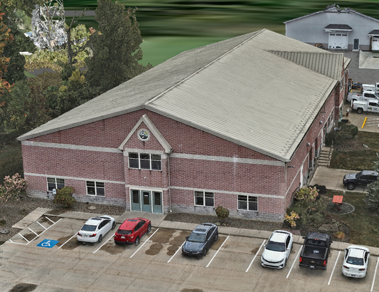
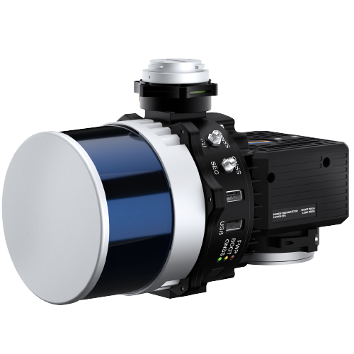
RESEPI Hesai XT32 Drone LiDAR Accuracy Case Study - Hard Surfaces
RESEPI is a combined GNSS-Aided Inertial Navigation System, datalogger, LiDAR, camera,...
4 min read
Case Study
DJI Mavic 3 Enterprise Price
There are multiple options to choose from when building your...
5 min read
Case Study
Emlid Reach RS2+ with Tilt - Accuracy Test
You can collect building corners and other hard to reach...
2 min read
Case Study
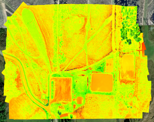
Mavic 3 Multispectral Data
The Mavic 3 Multispectral includes a 20 MP RGB camera with a...
2 min read
Case Study
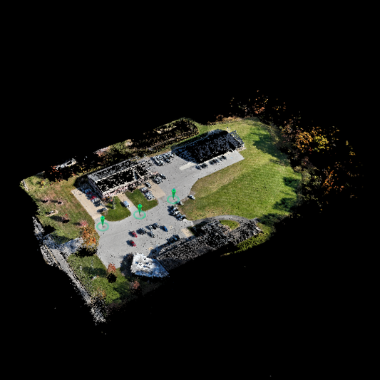
DJI Mavic 3 Enterprise RTK, PPK, & VRS Accuracy Tests
We tested out the new Mavic 3E RTK for surveying...
6 min read
Case Study
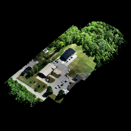
DJI Zenmuse L1 LiDAR Data
Click the link below to download the DJI Zenmuse L1 LiDAR...
1 min read
Case Study
How Accurate is RTK GNSS Really?
In RTK GNSS Accuracy Test: Emlid Reach RS2 vs. Topcon...
2 min read
Case Study
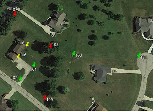
RTK GNSS Accuracy Test: Emlid Reach RS2 vs. Topcon Hiper VR
The intent of this study is to determine whether there...
3 min read
Case Study
